Publicado
Autor Hrvoje Tkalčić
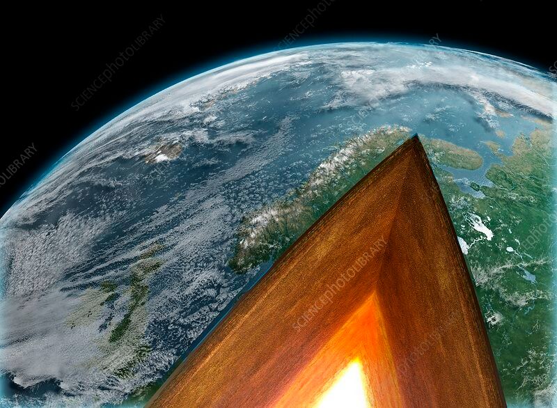
In these one-dimensional (1D) models, the Earth (or, as a matter of fact, any other planet) is divided into kilometres thick spherical layers, just like an onion on a much smaller scale
In these one-dimensional (1D) models, the Earth (or, as a matter of fact, any other planet) is divided into kilometres thick spherical layers, just like an onion on a much smaller scale
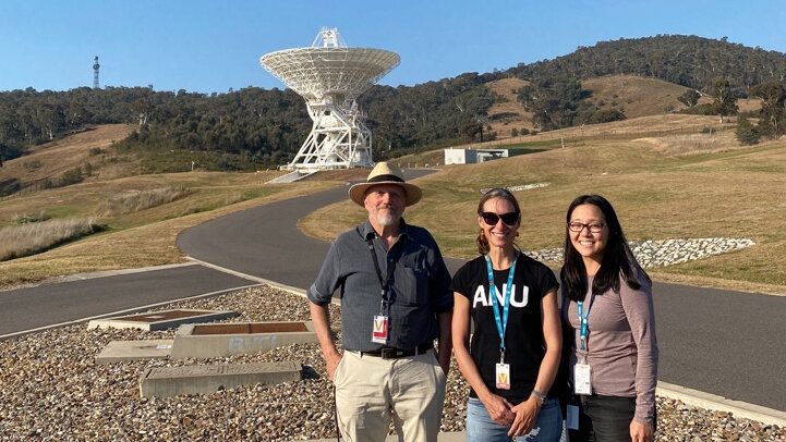
Seismic waves are being recorded in more detail than ever before. In this latest collaboration with the NASA Deep Space Network (DSN), researchers from The ANU and AuScope’s Earth Imaging and Sounding Program explain Distributed Acoustic Sensing (DAS) infrastructure .
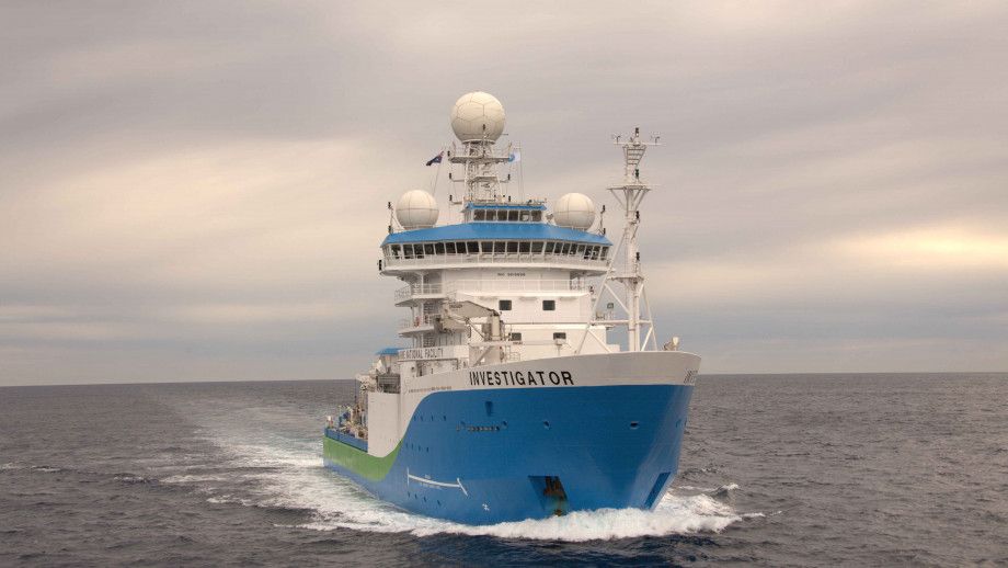
A team of Australian researchers are about to set off on a landmark voyage to discover more about the Earth beneath our oceans, and what triggers underwater earthquakes. Read live updates of the cruise as they go — both personal reflections and scientific background to the cruise.
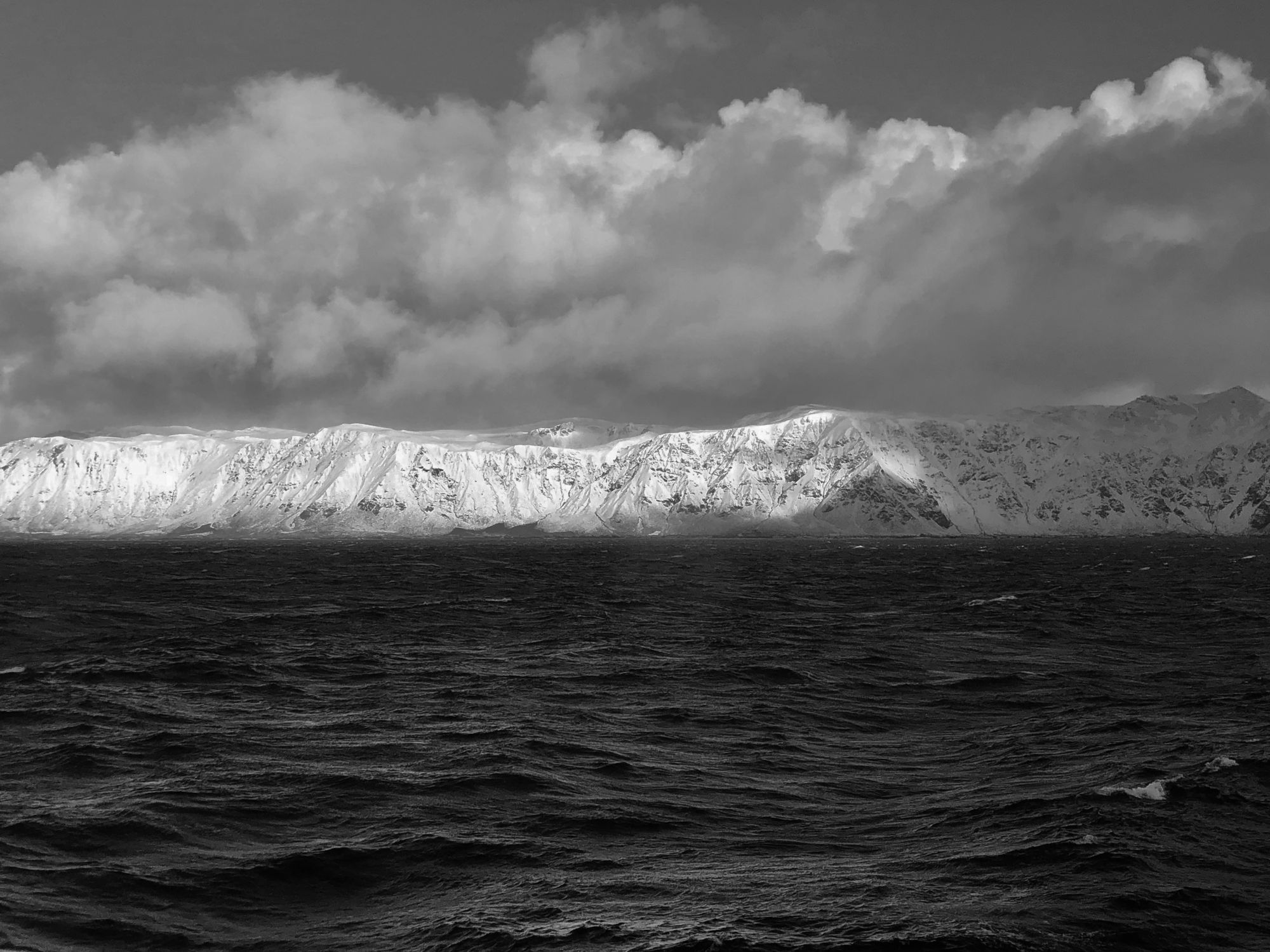
Staff from the Australian Antarctic Division are now installing seismometers on the Macquarie island as part of the "Macquarie Ridge in the 3D" project.
The largest earthquakes occur at subduction zones, where one plate descends beneath another into the underlying mantle, at a convergent plate boundary. Some subduction zones seem to host more large earthquakes than others (Fig. 1), potentially reflecting the influence of large-scale geodynamic processes, which vary from one subduction zone to the next.
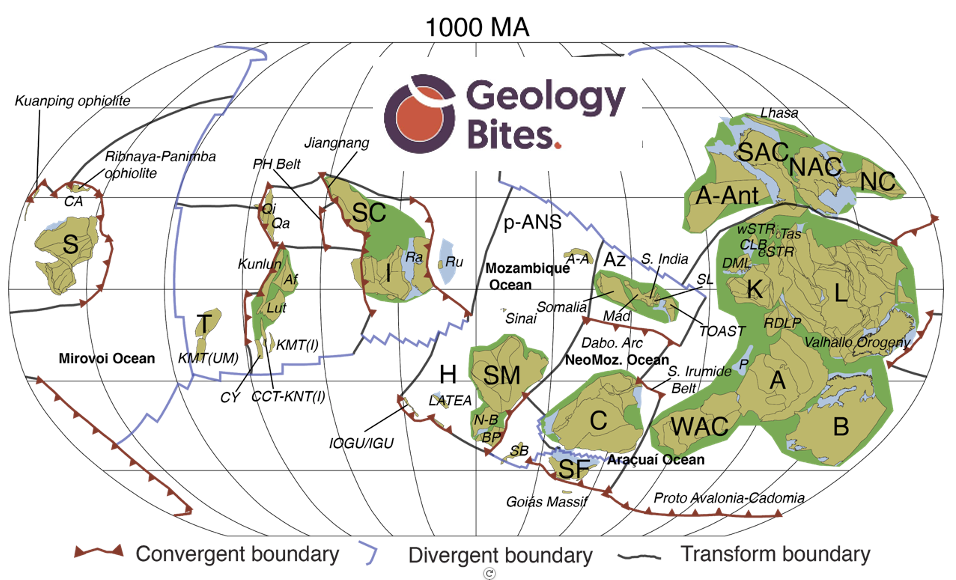
This is a transcript of a podcast with Oliver Strimpel from GeologyBites. We chat about the challenges and benefits of reconstructing Earth evolution over a billion years.

Flash floods, landslides, and rising rates of COVID-19 in Timor-Leste show how multiple hazards can interact with deadly consequences.
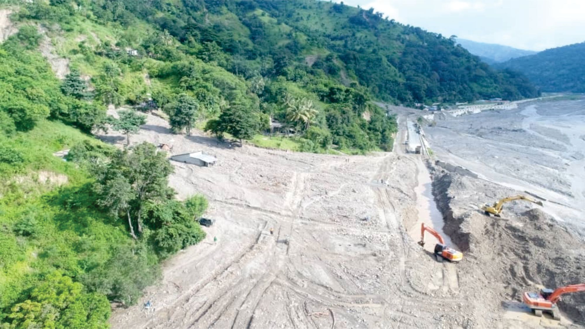
Timor-Leste and Indonesia were battered by tropical cyclone Seroja over the Easter period. Seven days of heavy rain and wind caused severe flooding and landslides.
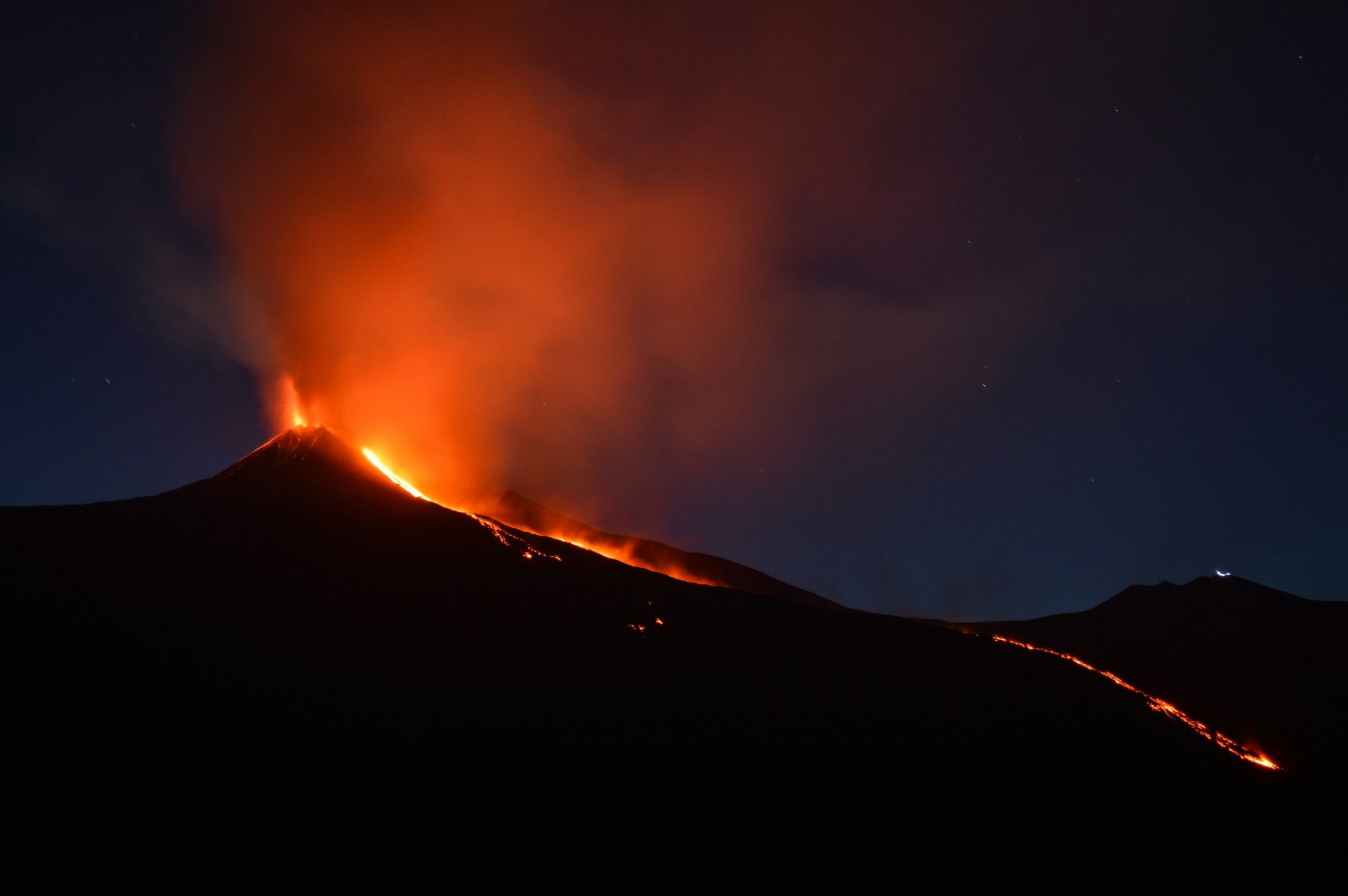
Eastern Australia hosts a wide range of volcanic edifices, ranging from localised outcrops to lava fields and central volcanoes (Figure 1). In general, the older volcanics are in the north with distinct tracks of decreasing age to the south (see Figure 1 and, e.g., Davies et al., 2015). Similar age profiles are seen for two lines of seamounts through the Tasman Sea (e.g., Seton et al., 2019). This pattern of age progression reflects the rapid
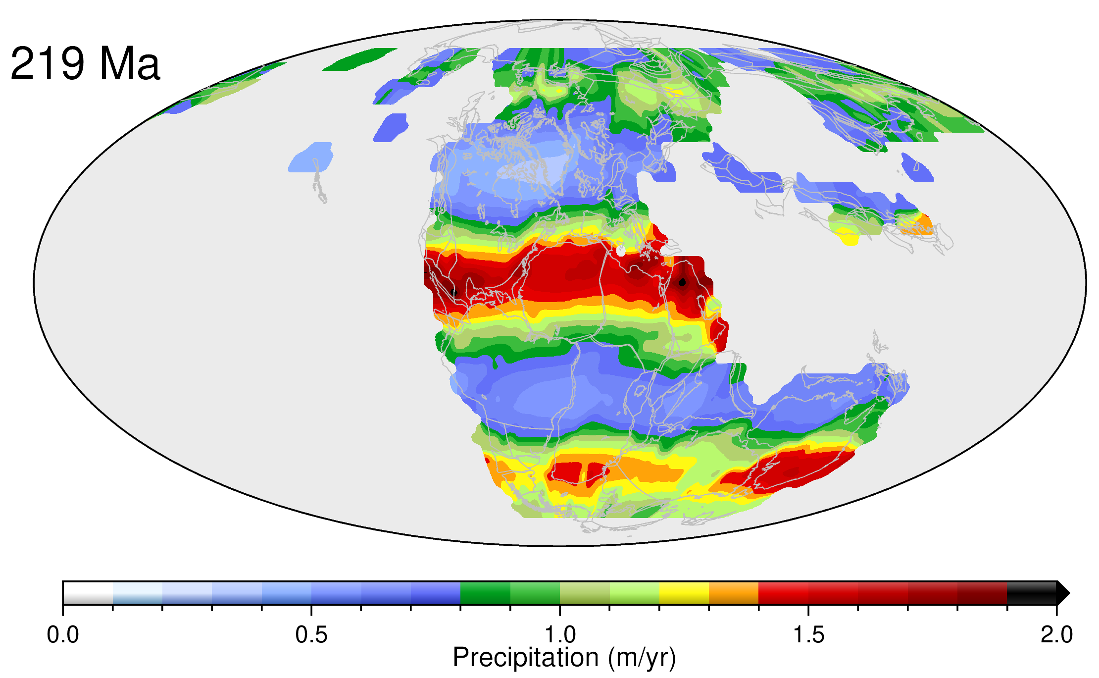
We have developed a novel data-driven approach to reconstruct precipitation patterns through geological time, since the supercontinent Pangea was in existence. Our approach involves linking climate-sensitive sedimentary deposits such as coal, evaporites and glacial deposits to a global plate model, reconstructed paleo-elevation maps and high-resolution General Circulation Models via Bayesian machine learning.