mapscanner It is sometimes easy in the midst of the cutting-edge world of uniquesoftware development that is rOpenSci to forget that even though oursoftware might be freely available from anywhere in the world, access toadequate hardware is often restricted.
Rogue Scholar Beiträge

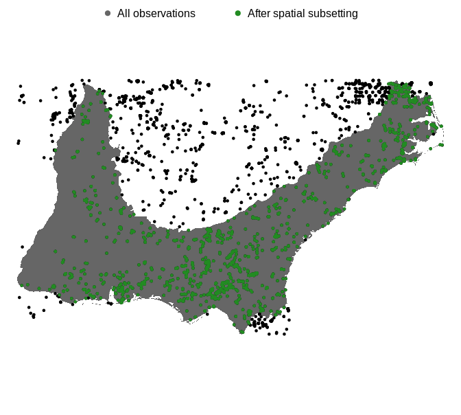
One of the first things I took on when I started at the Cornell Lab of Ornithology was creating the auk R package for accessing eBird data. The entire eBird dataset can be downloaded as a massive text file, called the eBird Basic Dataset (EBD), and auk pulls out manageable chunks of the dataset based on various spatial, temporal, or taxonomic filters.
With services like Google Maps, finding the fastest route from A to B has become quick, cheap, and easy. Not just for driving but walking, cycling and public transport too. But in the field of transport studies, we often want not only a single route, but thousands or millions of routes.

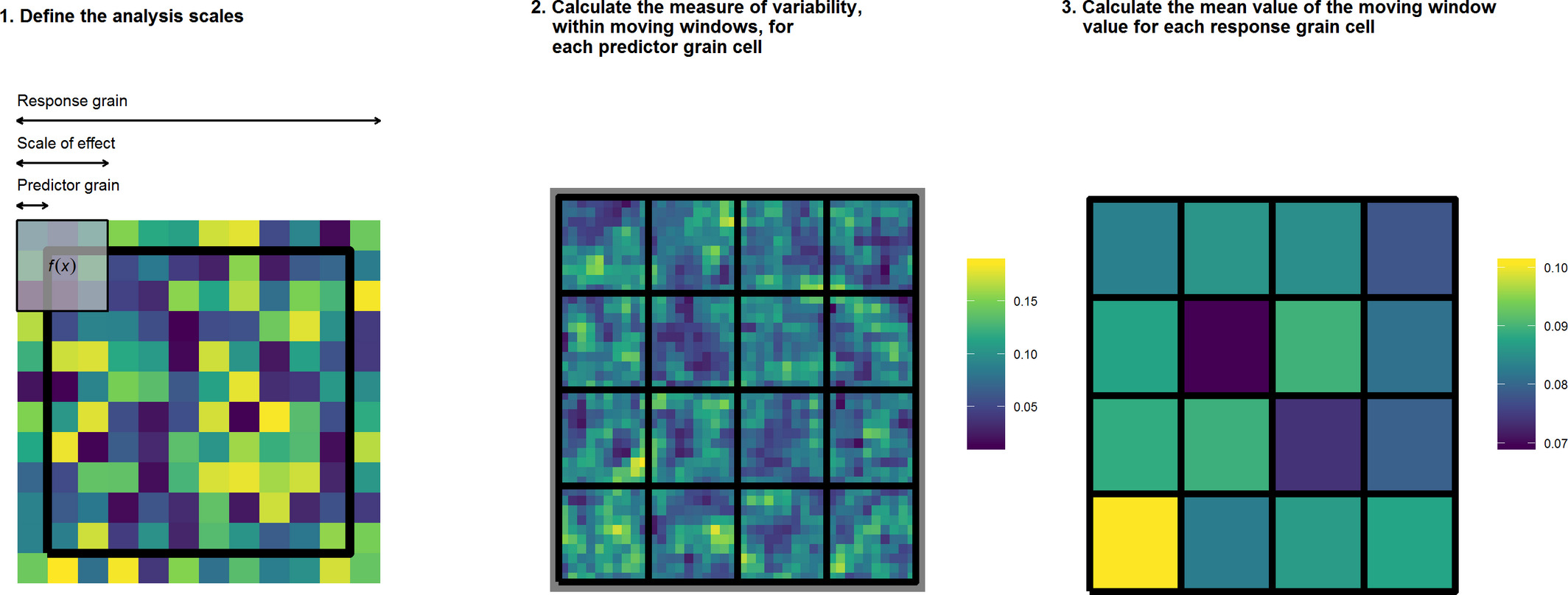
The grainchanger package provides functionality for data aggregation to a coarser resolution via moving-window or direct methods.Why do we need new methods for data aggregation? As landscape ecologists and macroecologists, we often need to aggregate data in order to harmonise datasets. In doing so, we often lose a lot of information about the spatial structure and environmental heterogeneity of data measured at finer resolution.

The package FedData has gone through software review and is now part of rOpenSci. FedData includes functions to automate downloading geospatial data available from several federated data sources (mainly sources maintained by the US Federal government). Currently, the package enables extraction from six datasets:The National Elevation Dataset (NED) digital elevation models (1 and 1/3 arc-second;

Geospatial data input/output, manipulation, and vizualization are tasks that are common to many disciplines. Thus, we’re keenly interested in making great tools in this space. We have an increasing set of spatial tools, each of which we’ll cover sparingly. See the cran and github badges for more information.